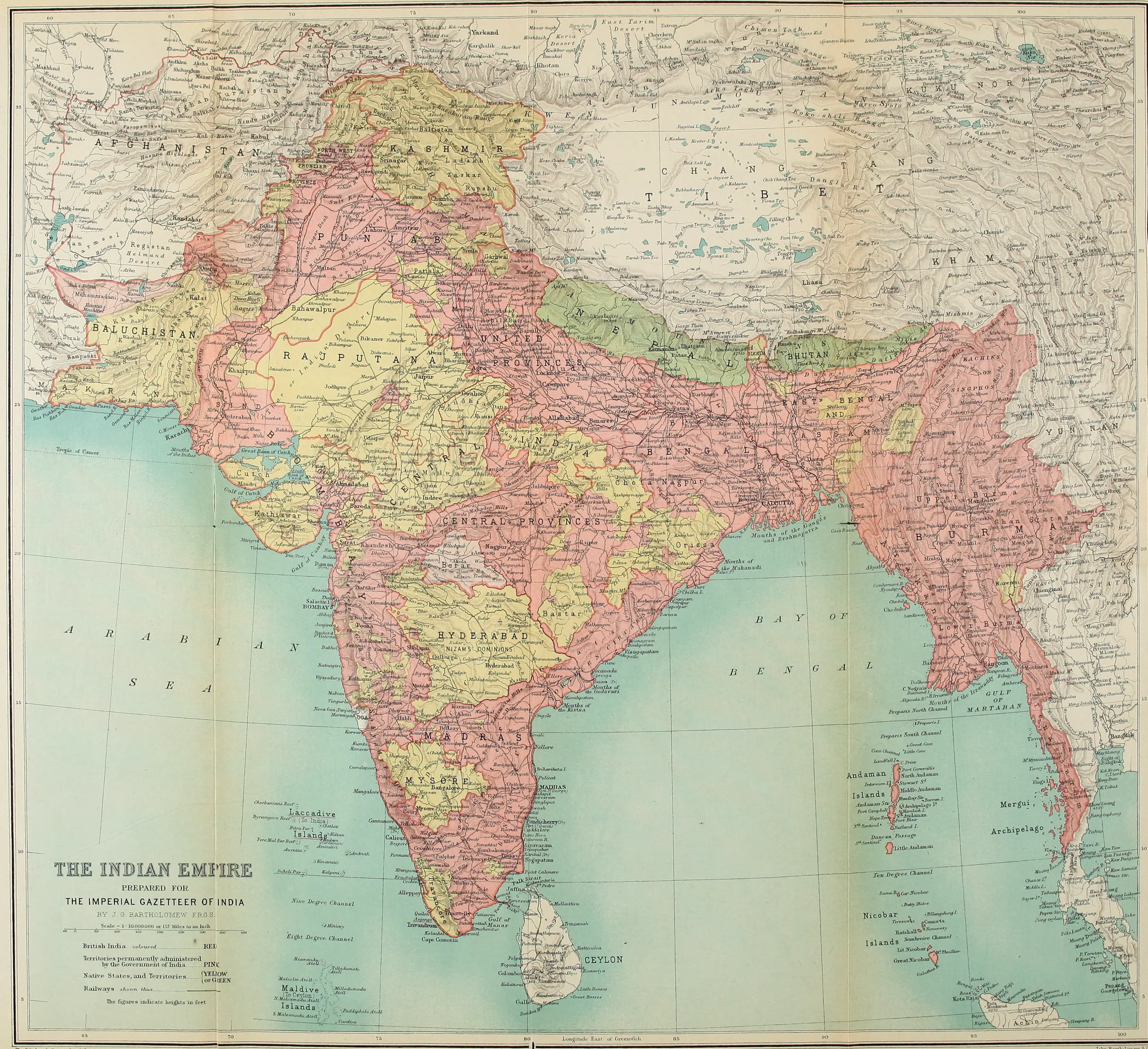
PREPARED FOR
THE IMPERIAL GAZETTEER OF INDIA
BY J. G. BARTHOLOMEW, F.R.G.S.
Scale 1 : 10,000,000 or 157 Miles to an Inch
British India coloured ........................................... RED
Territories permanently administered by the Government of India ............... PINK
Native States, and Territories .................... { YELLOW { OR GREEN
Railways shewn thus ....................................
The Edinburgh Geographical Institute
John Bartholomew & Co.
THE
IMPERIAL GAZETTEER
OF INDIA
THE INDIAN EMPIRE
VOL. I of XXV
DESCRIPTIVE
NEW EDITION
PUBLISHED UNDER THE AUTHORITY OF HIS MAJESTY'S SECRETARY OF STATE FOR INDIA IN COUNCIL
OXFORD AT THE CLARENDON PRESS 1907
HENRY FROWDE, M.A. PUBLISHER TO THE UNIVERSITY OF OXFORD LONDON, EDINBURGH NEW YORK AND TORONTO
TO HIS MOST GRACIOUS MAJESTY
KING EDWARD VII
EMPEROR OF INDIA
THIS WORK IS BY HIS ROYAL PERMISSION
DEDICATED